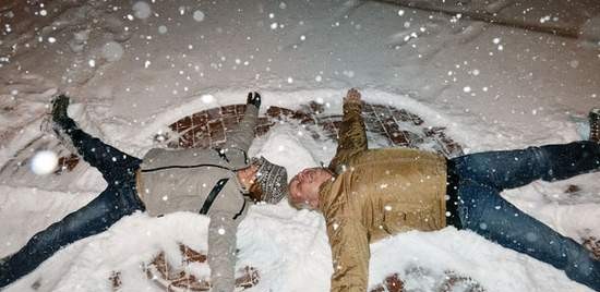
Summit County forecasts: It’s not over yet
Some weather watchers are calling for as much as a few more inches in some mountain areas as the next system moves across Colorado tonight and into Tuesday. A bluebird break from snow through midweek will likely precede another winter blast arriving on Friday or Saturday, meteorologists say.
The next storm is still a little too far out to call accumulations or exact locations, but it is moving along a southwestern track and is expected to hit the San Juans in southern Colorado first and hardest.
“But everywhere in Colorado, including Summit County, will get some good snow Friday into Saturday,” weather watcher and blogger Joel Gratz said. “It’s too early for details, but we look good. We’re in a good storm track at this point with chances for snow and colder weather every couple days.”
With local resorts’ snowpack building and a more continuous flow of winter weather targeting the state, some weather watchers are optimistic heading into the holiday season.
“There are more storms coming during the third week of December,” Gratz posted on his blog, OpenSnow.com. “We should be in pretty good shape around Colorado by Christmas week …”
Temperatures plummeted to below zero Saturday night, and are expected to stay chilly through the first part of the week. Highs are only set to climb into the teens today, but windchill may make it feel as cold as -24, with gusts up to 26 mph possible today.
There is a 60 percent chance of snow today and a 30 percent chance on Tuesday. The sun is expected to reappear Wednesday, with the mercury climbing closer to seasonal normals for Summit County.
“Temperatures are going to slowly start to go up, because the wind changes,” Bowen said.
Breckenridge Ski Resort was reporting 8 inches of fresh snow Sunday and 13 in the last week. Copper Mountain and Keystone Resort each got 6 inches of new powder out of Saturday’s storm, while Arapahoe Basin reported 4 inches new Sunday and 9 in the previous three days.
“Snow is always a good sight to see here at Breck,” BSR spokeswoman Kristen Petitt Stewart stated in an email. “Our town and ski area will look beautiful next week when Breckenridge is featured as the host of the 2012 Dew Tour Mountain Championships.”
> Snow and terrain totals are based
on ski area reports Sunday afternoon.
Arapahoe Basin:
> New snow: 4”
> Terrain: 7 trails, 4 lifts, 100 acres open
Breckenridge Ski Resort
> New snow: 8”
> Terrain: 8 runs, 6 lifts, 186 acres open
Copper Mountain
> New snow: 6”
> Terrain: 22 trails, 9 lifts, 269 acres open
Keystone Resort
> New snow: 6”
> Terrain: 16 runs, 7 lifts, 236 acres open
“Remember, even small avalanches can result in fatal consequences,” Colorado Avalanche Information Center forecaster John Snook stated in an online report Sunday. “Even a small ride right now will likely drag you through trees, rocks and other shallow obstacles. Don’t let the long-awaited-for new snow lull you into poor decisions.”
Southwest to northwest winds built deeper snowpack on northern and eastern slopes, particularly at and above tree line. Avalanche danger was rated ‘considerable’ on all north, east and southeast aspects. Everywhere else is rated ‘moderate’ in the Vail and Summit County region.
summit daily news


